Land Surveys

Topographical Surveys

Fosse Surveying is a Professional Land and Measured Building Survey Company based in the East Midlands.

What is a topographical survey?

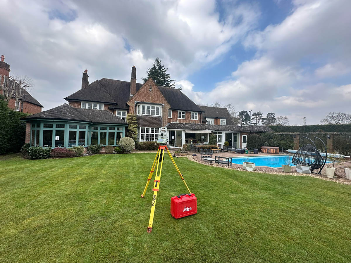
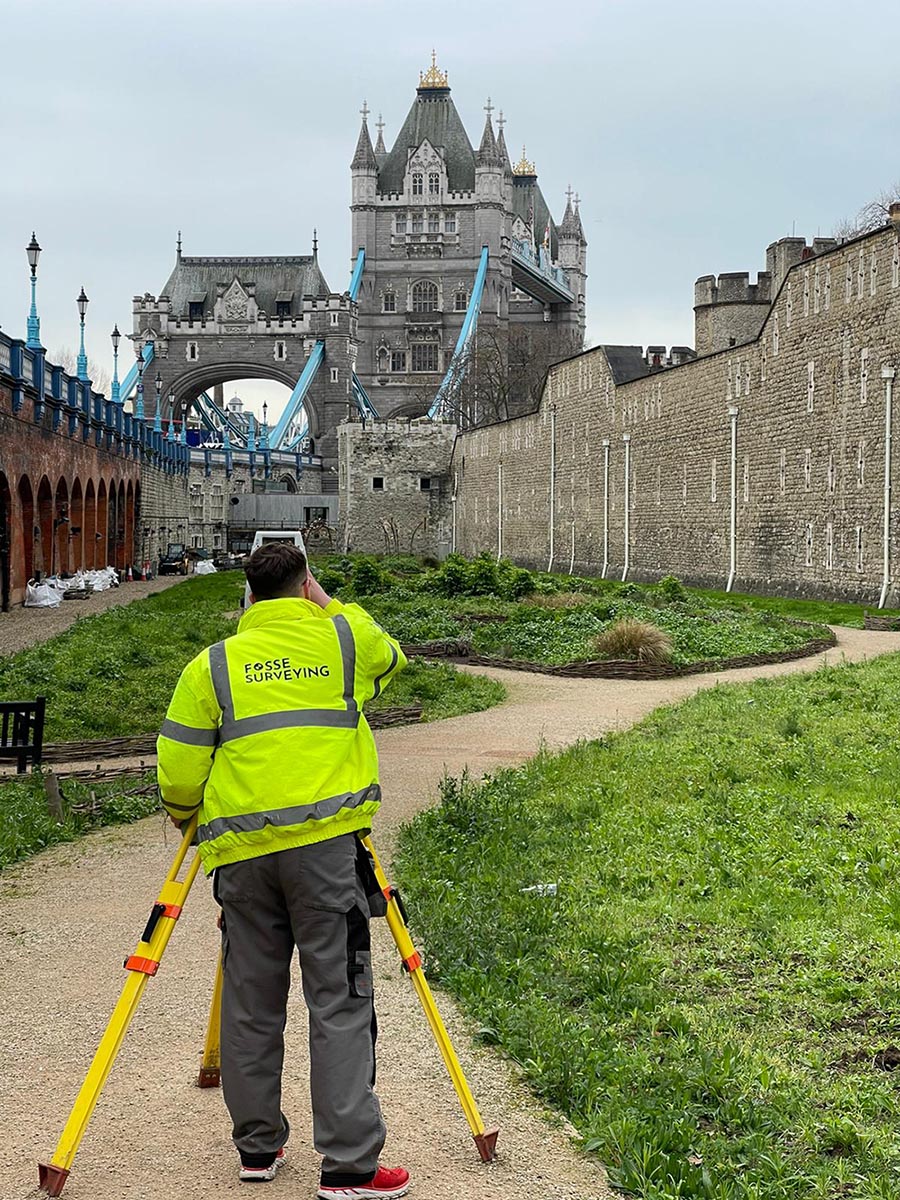
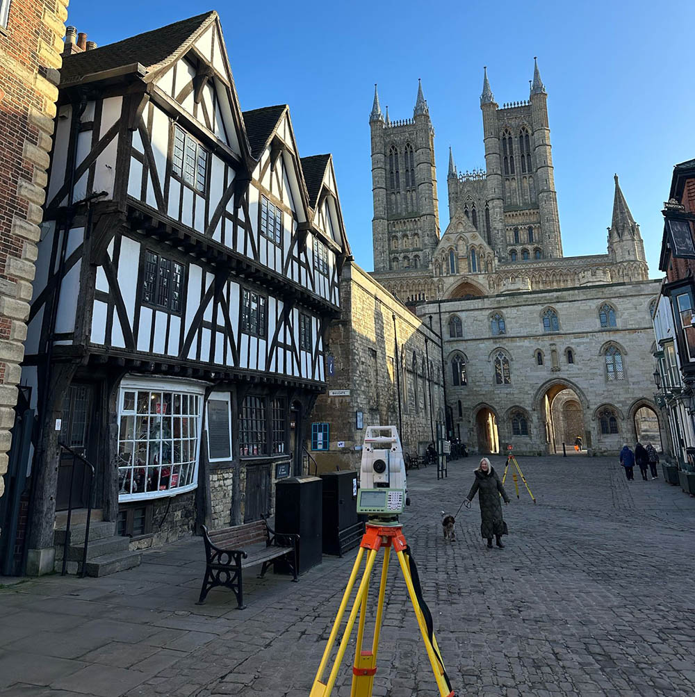
 A Topographical Survey (Land Survey) is a key component of any design process for any planned development of an area. It is used by many, from architects, civil engineers, developers, builders and private individuals.

A topographical survey maps the boundaries, building footprints of existing and neighbouring structures, drainage, trees, ground surface types and levels of a site, plus many more features that vary from site to site.

At Fosse Surveying, our trusted and experienced topographical surveyors deliver accurate drawings using the latest technology in the industry to allow for confident site designs and plans.

Our team is on hand to provide advice on a variety of topographic surveys, topological surveys, and land survey issues, including the most suitable survey option for your site, important questions about how the survey works and a full breakdown of a topographical survey cost.

Bespoke Land Survey Solutions

All of our surveys are related to Ordnance Survey via GNSS site equipment and delivered to our clients needs in DWG, DXF, PDF, CSV, GEN or XYZ formats both in 2D and 3D once professional checked by management once the onsite surveyor has processed the site data in LSS and then AutoCAD.

All of our quotes are based on a full specification topographic survey, so no detail is missed throughout our site visit. 

You can view examples of our topographical surveys below. For information about other services, such as Measured Building Surveys or 3D Laser Scanning Surveys, you can browse through our services pages.

Alternatively, please feel free to contact us with any questions.

Latest Topographical Survey Technology

Fosse Surveying has invested in the latest cutting-edge Leica survey technology to ensure that every survey produced for our clients is to the highest possible standard of accuracy. The latest survey technology is used to give our surveyors the edge with faster and more accurate equipment, which allows you to locate many key features that appear on and off-site.

With our reflectorless survey Leica Total Stations we can gain ridge and eaves heights of the current and neighbouring buildings, overhead cable heights, tree heights, bridge soffits and other key structures.

What are the benefits of a Topographical Survey?

Getting the right information early in the planning stage of a project, whether it’s a topographic survey, a topological survey, or any other land survey, can save time and money.

Getting the right information early in the planning stage of a project, whether it’s a topographic survey, a topological survey, or any other land survey, can save time and money.

Getting the right information early in the planning stage of a project, whether it’s a topographic survey, a topological survey, or any other land survey, can save time and money.

Getting the right information early in the planning stage of a project, whether it’s a topographic survey, a topological survey, or any other land survey, can save time and money.

What information is included in a Topographical Survey?

Elevation & placement of the surrounding infrastructures
The development of site boundaries
Drainage and sewage systems
Power and telephone lines
Kerb positionings
The width and spread of any surrounding trees
The location of gas, water and electricity chambers
Local water features

FAQs

Lorem ipsum dolor sit amet, consectetur adipiscing elit. Ut elit tellus, luctus nec ullamcorper mattis, pulvinar dapibus leo.

Lorem ipsum dolor sit amet, consectetur adipiscing elit. Ut elit tellus, luctus nec ullamcorper mattis, pulvinar dapibus leo.

Lorem ipsum dolor sit amet, consectetur adipiscing elit. Ut elit tellus, luctus nec ullamcorper mattis, pulvinar dapibus leo.

Lorem ipsum dolor sit amet, consectetur adipiscing elit. Ut elit tellus, luctus nec ullamcorper mattis, pulvinar dapibus leo.

Lorem ipsum dolor sit amet, consectetur adipiscing elit. Ut elit tellus, luctus nec ullamcorper mattis, pulvinar dapibus leo.

Lorem ipsum dolor sit amet, consectetur adipiscing elit. Ut elit tellus, luctus nec ullamcorper mattis, pulvinar dapibus leo.

Our Promise

We will tailor your surveys to suit the requirements of your project, providing the most important information for efficient completion

Using state-of-the-art equipment, our surveys are conducted to best practice, providing cost-effective, but professional results

Our surveys are provided in any format for your convenience

Our expert surveyors are happy to supply any additional information that may be fundamental to your project’s success

Topographic Land Surveys Derby Drawing Example

Example name just here

View an example of our topographical land survey drawings

Some of the areas we cover

We’ve been as far north as X and south as X, providing service across the entire country.

See our case studies content in this paragraph here that will link out in the button below

Get in touch today

If you’re looking for a company that provides high quality surveying that offers an excellent all round customer experience, you’ve come to the right place.