Measured Building Surveys

3D Laser Scanning for Commercial Projects

Survey-Grade Reality Capture for Large Scale Buildings and Sites

Accurate 3D Laser Scanning

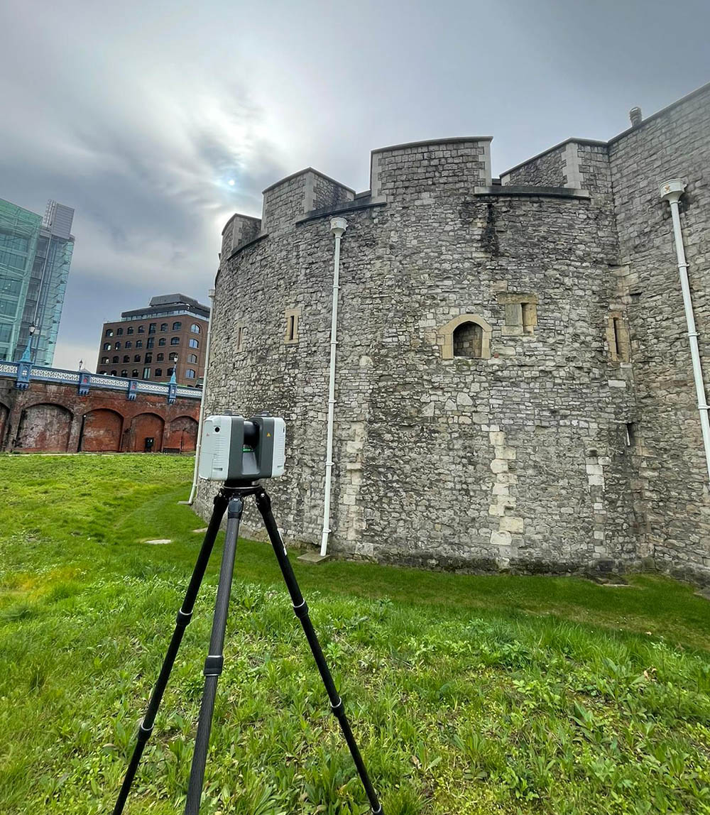
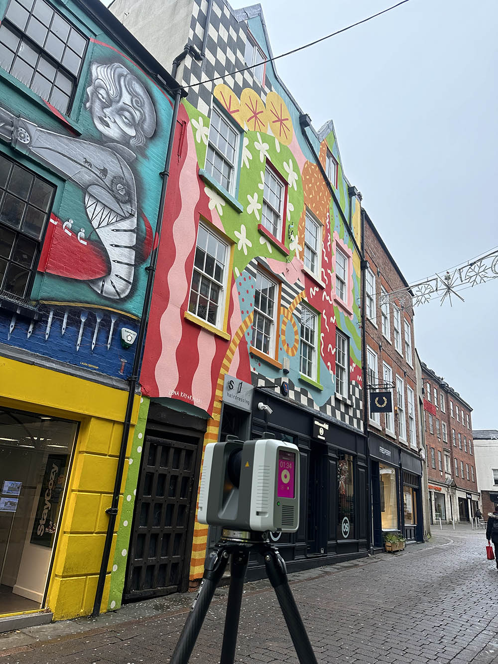
At Fosse Surveying, we deliver 3D Laser Scanning services for large commercial, industrial, public sector and heritage projects where accuracy, scale and reliability are critical. We specialise in survey-grade laser scanning, using industry leading equipment and established survey control – not handheld devices, low cost scanning apps or hand measurements where mistakes can easily be overlooked.

Our focus is on complex buildings, live environments and multi-storey assets, producing accurate, dependable data that can be confidently used for design, refurbishment, coordination and long term asset management.

We ensure every scan is tied to a precise survey control network, guaranteeing millimetre-level accuracy across entire sites. Our team of experienced surveyors interprets and validates all captured data, providing actionable insights for architects, engineers, and project managers.

The versatility of our 3D laser scanning allows us to handle intricate geometries, from curved facades to vaulted ceilings and MEP-heavy areas. By capturing comprehensive as-built conditions upfront, we help clients minimise costly rework and make informed decisions throughout the project lifecycle.

What Is 3D Laser Scanning?

3D Laser Scanning (also known as terrestrial laser scanning) uses precision laser scanners to capture millions of measured points per second. These points form a point cloud, an exact digital representation of a building or site.

Unlike low accuracy scanning tools, our laser scanning:

  • Is tied into a survey control network
  • Captures geometry to millimetre accuracy
  • Produces data suitable for CAD, BIM and Revit workflows
  • Can be repeated consistently across large or phased projects
  • Is carried out by experienced surveyors who validate and interpret the data
  • Provides a complete digital record of existing conditions, reducing the need for repeat site visits

Professional Laser Scanning vs Alternatives

Many low budget scanning solutions rely on handheld devices, tablets or photogrammetry apps. While these may be suitable for small domestic spaces, they lack the accuracy, consistency and accountability required for commercial projects.

Our approach at Fosse Surveying is different, we eliminate costly design errors, rework and uncertainty later in the project lifecycle.

  • Survey-grade laser scanners designed for large environments
  • Controlled site networks to ensure repeatable accuracy
  • Experienced surveyors interpreting and validating the data
  • Outputs that meet professional and contractual standards

Who Our 3D Laser Scanning Services Are For

Our 3D laser scanning services are ideally suited to organisations working across a wide range of sectors, particularly where accuracy, scale and reliable data are critical.

We regularly support:

  • Retail clients – shopping centres, retail parks and mixed-use developments.
  • Office & corporate occupiers – workplace redesigns, fit-outs and asset management.
  • Industrial site operators – warehouses, factories and logistics facilities.
  • Public sector estates teams – local authorities, government buildings and civic assets.
  • Healthcare providers – hospitals, clinics and operational healthcare environments.
  • Residential developers – large residential blocks and multi-unit developments.
  • Heritage and conservation bodies – historic and listed buildings requiring sensitive documentation.


Our experience across these sectors allows us to deliver survey-grade laser scanning data that integrates seamlessly with CAD and BIM workflows and supports confident decision-making at every stage of a project.

Our 3D Laser Scanning Services

We tailor each laser scanning project to suit the building type, scale and intended use of the data.

Commercial & Industrial Buildings

High-accuracy scanning for offices, warehouses, factories and mixed-use developments, ideal for refurbishment, reconfiguration and compliance projects.

Heritage & Listed Buildings

Sensitive laser scanning for historic structures, capturing intricate architectural details without physical contact or disruption.

Live & Operational Sites

We regularly scan buildings that remain fully operational, including hotels, public buildings and occupied commercial spaces.

Large-Scale & Complex Geometry

Curved façades, vaulted ceilings, plant heavy areas and multi-level circulation spaces are captured accurately and consistently.

Laser Scanning & Usable Data

Laser scanning is only valuable if the data can be used effectively. At Fosse Surveying, scanning is integrated into a wider surveying workflow. This ensures architects, engineers and contractors can rely on the information from day one.

Registered and cleaned point cloud data
2D CAD drawings
(floor plans, sections, elevations)
3D Revit models / BIM-ready outputs
MEP overlays and coordination drawings
Data aligned to site datums and national coordinate systems
Clash detection reports for design coordination
Visualization and walkthroughs for stakeholder review
Geo-referenced datasets for multisite or large scale project coordination

FAQs

When carried out using survey grade equipment and proper control networks, laser scanning delivers millimetre level accuracy suitable for commercial design, BIM and construction workflows.

Laser scanning often complements traditional surveys. At Fosse Surveying, we combine scanning with professional survey control to ensure accuracy and reliability across the entire project.

Yes. Laser scanning is ideal for large, complex or occupied buildings, as it captures data quickly and safely with minimal disruption.

We provide outputs in DWG, DXF, Revit (.RVT .IFC) and point cloud formats (.RCP .e57 .LGS .xyz .PTS), tailored to your project requirements.

Our Promise

We will tailor your surveys to suit the requirements of your project, providing the most important information for efficient completion

Using state-of-the-art equipment, our surveys are conducted to best practice, providing cost-effective, but professional results

Our surveys are provided in any format for your convenience

Our expert surveyors are happy to supply any additional information that may be fundamental to your project’s success

3D Laser Surveys Derby Drawing Example

Example name just here

View an example of our topographical land survey drawings

Some of the areas we cover

We’ve been as far north as X and south as X, providing service across the entire country.

See our case studies content in this paragraph here that will link out in the button below

Get in touch today

If you’re looking for a company that provides high quality surveying that offers an excellent all round customer experience, you’ve come to the right place.